New technology and the need to save money are allowing the High-Speed-Rail Authority (HSRA) to redesign its route through Pacheco Pass. California HSRA staff showed three new potential routes to 48 residents of Los Banos at the Nov. 5 meeting in the Los Banos Community Center.
The currently approved route runs parallel to Henry Miller Road, curves to pass by the San Joaquin Valley National Cemetery and tunnels 15 miles through Pacheco Pass.
HSRA Regional Communications and Outreach Manager Jim Patrick explained that the tunnelling costs “a billion dollars a mile.” The tunnel accounts for most of the $21 billion cost to build the segment from Gilroy to west of Merced.
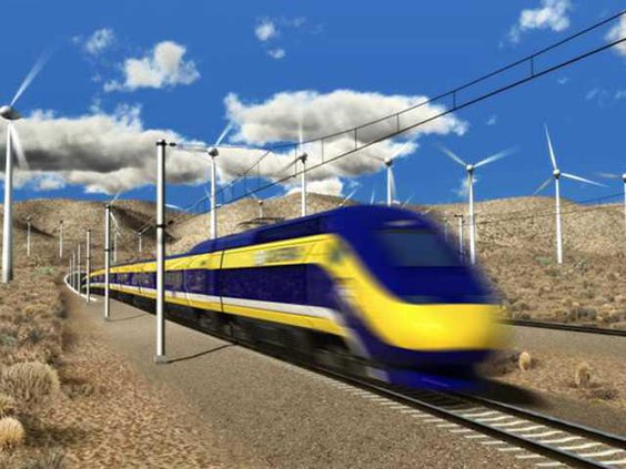
Patrick explained that previously the route was locked to a 1.5 percent grade, meaning it could only raise 1.5 feet for every 100 feet of track. New technology, including the powering of all wheels on the train, allows the HSR to maintain its 220 MPH target speed going up a 3 percent grade.
HSRA staff also noted that they plan to use single-track wherever possible, rather than build parallel tracks along the whole alignment.
The three routes shown at the meeting were Alt Five, Six, and Seven. Numbered that way because Alt Four is the currently adopted alignment. Alt Five is similar to the adopted alignment, but is steeper to cut down on the tunnelling needed; however, it still needs a lot of tunnelling.
Alt Seven and Alt Six curve south after passing Los Banos. Six curves gradually while Seven curves harder and passes just north of the Merced College Campus. Seven roughly follows the former planned 152-north-bypass.
Both then combine where Los Banos Creek splits into a north and south fork. They run parallel to the North Fork, right up into the Diablo Mountain Range. They tunnel roughly four miles under French’s Pass before descending to Gilroy. Both routes would significantly cut down costs for the HSR, but encroach on Los Banos’ sphere of influence.
Patrick said the response so far has been, “Civil, but you know people are concerned and I get it. We don’t want to impact anybody’s anything, but (we) can’t build a train without land.”
Patrick explained the reason they’re doing this scoping meeting is to find the problems with these new alignments. “Yeah, we’re going to save billions in one respect, but how much are we adding in other respects?” he said.
Patrick noted the French’s Pass routes will have to account for landslide risk and cut back some hillsides along the route. Patrick explained that the HSRA plans to work with the nearby landowners, such as the college and small farmers, to ensure any mitigations needed are met. “Part of the reason why our project cost is high is because we bend over backward to do the right thing,” Patrick noted.
HSRA staff explained that they don’t know exactly how much the new alignments could save, as it’s so early into planning. Once the exact alignments are hammered out and engineered, then the HSRA can give a proper figure.
In addition to the short presentation, HSRA staff had multiple stations and handouts for the public. One of those stations was Environmental Lead Rich Walter, who brought his laptop and an interactive map of the alignments to show property owners exactly where the tracks could go. His station was the busiest at the meeting.
Walter explained that around the time they finish the draft Environmental Impact Report (EIR), HSRA will release an app where the public can view the alignments themselves.
According to the preliminary schedule, this meeting follows the “notice of preparation.” Following the meeting, the Alternatives will be properly studied, a preferred route will be chosen, and a draft EIR will be released in early to mid-2027.
Once released, the draft will have a comment period, and the HSRA will respond to comments before the Final EIR is released and certified by late 2027.